
March 13, 2022
The sun sinks below the crest of the magestic Sierra Nevada as I approach the West boundary of Death Valley National Park. I am looking for a dirt pull out on which to get away from the highway, cook some dinner, and pass out after a long days drive from Tahoe. Thank you iOverlander!
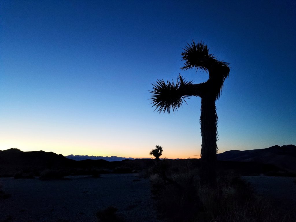
The gravel is bumpy and I cruise beyond one car parked next to a conglomerate of chunky rocks to seek some privacy. The dirt track continues much beyond what I anticipated, I turn around where I can, it’s getting close to dark. My spot is flat and oh so quiet. When I settle in and turn to face the North West I am so elated that I have a fantastic view of the long spine of the Sierra doused in snow. How great it is to be here this time of year! Framing my view are the quirky Joshua Trees so characteristic of this landscape. My companions for the night.
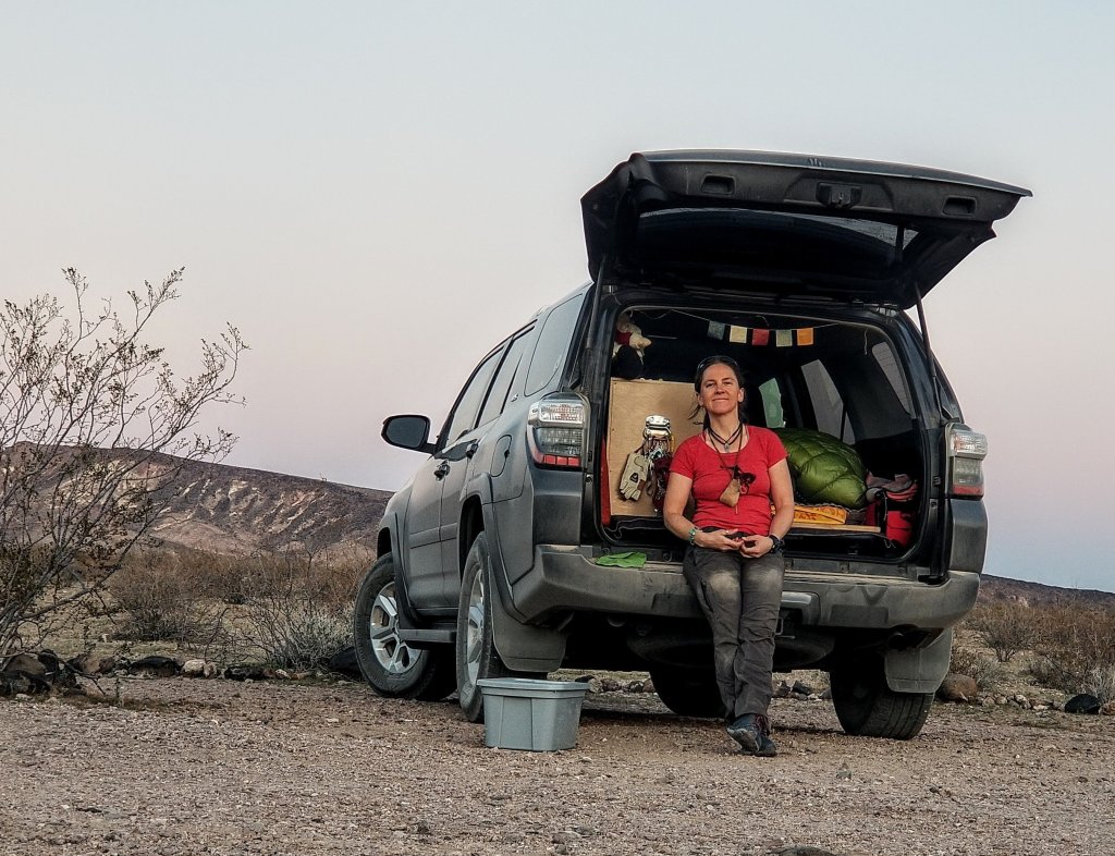
Morning. I brew my pour over coffee from the back of my truck, sipping the delicious beverage, taking in the pastels of sunrise as I think about my plan for today. I must first hit up Furnace Creek Visitors Center, then start my caching, of which I have plotted four locations: Shorty’s Well, Badwater Road near Sheep Canyon, Salsbury Pass and Gold Valley. Four locations to get me through the first 80 miles of the Death Valley Traverse.
So what IS the Death Valley Traverse? Essentially it is a full crossing of the entire park between the Northern and Southern boundaries. There are definitely variations on the route, but the two termini are set points. Total mileage for the entire crossing comes in at around 175 -220 miles depending on your route choice. At first glance around the internet this route does not pop up as one of the high profile, glamorous trails that lots of people are familiar with. An example of that would be Brett Tucker’s popular L2H, or Lowest to Highest Route, which covers the territory from the lowest point in the lower 48 at Badwater Basin in Death Valley, heads West for 130 miles and finishes at the highest point in the contiguous US at the famed Mt. Whitney.
The L2H is a route I highly recommend doing if you are wanting to challenge your skills of off-trail navigation as well as a host of other things it presents like high temps in the 100’s down to sub-freezing digits and snow, the need to cache water and food ahead of time, a lot of logistics and a lot of mental toughness to get through some of the challenging terrain.
I really loved the L2H when I hiked it in 2018, you can read about my adventure here: (https://milissajayn.wordpress.com/2018/05/07/l2h-day-0-driving-through-the-desert-in-the-rain-and-leaving-water-behind/).
My hiking partner (Hurl Goat Hiker) for that hike also made some amazing videos of our L2H hike which you can watch here: https://youtu.be/LdAqg-xuhRw
I still have three more blog posts to put up from that hike, so sorry if you read it and I leave you hanging! I promise I will finish it someday. There are several actual planning resources on the internet these days to help you plan your trip if that’s your intent, mine is much more of a memoir style hiking blog.
Anyway, the DVT, also known as the Death Valley Crossing on the FKT.com website, does seem to have a small handful of folks who have done it, written about it and even set Fastest Known Times in the unsupported fashion, meaning they cached no water or food for themselves ahead of time and relied only on what they could carry, and any natural water sources they might come across along the way. If you are interested in reading about these, here is a link to the FKT.com site that hase a great deal of information about the DV Crossing, which I found really helpful and interesting in my planning process: https://fastestknowntime.com/route/death-valley-n-s-crossing-ca
I recently came across Rockin’s (Christy Rosander) trip report for a section of the Death Valley Traverse which she did back in 2018, covering the first 80 miles of the Crossing, so I thought this was something I could tackle solo on a long weekend. I chose my 45th Birthday to do this, giving myself a great gift of exploring a wild, vast landscape for a few days, my favorite thing to do. Thus, my trip will cover the first 80 miles, which is from the monument at Harry Wade Road, traveling Northbound, finishing out at Furnace Creek Visitor’s Center and I have roped my Dad into picking me up at Furnace Creek to shuttle me back to my car. I am super stoked that he agreed to help support me on this adventure, as he has on so many before! Thank you Dad!
Here is a link to Rockin’s blog about this section of the DVT: https://ladyonarock.com/death-valley-traverse-backpack/
And here is a link to the Backpacker Magazine articlce on the DVT, which also includes waypoints and a route description, which is truly gold: https://www.backpacker.com/trips/death-valley-national-park-harry-wade-road-to-stovepipe-wells-campground/
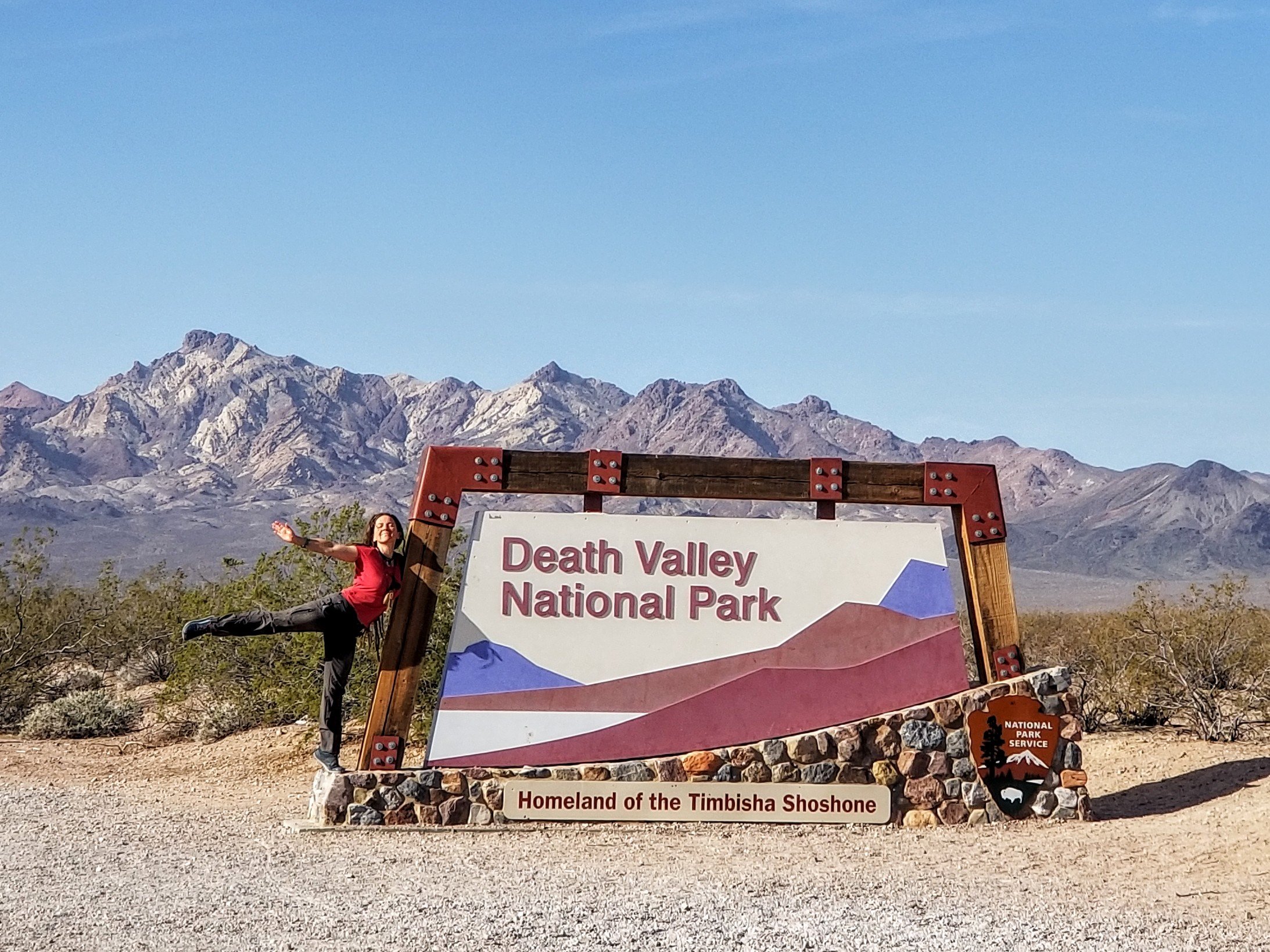
The famous thermometer at the Visitor’s Center reads 70F when I walk by, perhaps the coolest I have ever seen it. Inside, the desk clerk informs me they do not issue permits this many days in advance, so I am to either return the day before or day of my trip OR I can fill out a free permit online. Link here: https://www.nps.gov/deva/planyourvisit/wilderness-permits.htm
Permits are not mandatory, however they are smart, as they do give the Rangers information as to your whereabouts and general itinerary along with an emergency contact information. I simply went to the permit page on the NPS website for Death Valley and downloaded a fillable permit request form, emailed it to them and a day later they confirmed it for me. Simple.
If you decide to go into the back country, please remember that you are responsible for your own backcountry safety and for following the Leave No Trace principles, as well as removing any water caches within 30 days. Also, be sure to leave your itinerary with a friend or family member who will be able to contact Search and Rescue if you don’t turn up as planned. Many follks carry a Personal Locator Beacon these days, I always do, and I will have this set on tracking intervals at 2 hours so my family can track my movements. If I get into trouble, I can communicate with this device, a Garmin In Reach. This is especially critical for me traveling solo.
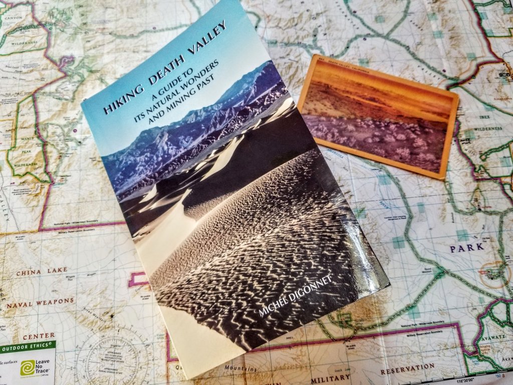
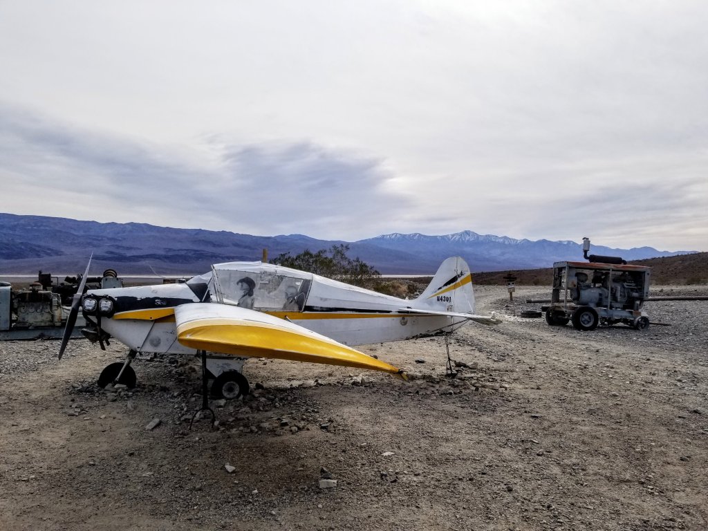
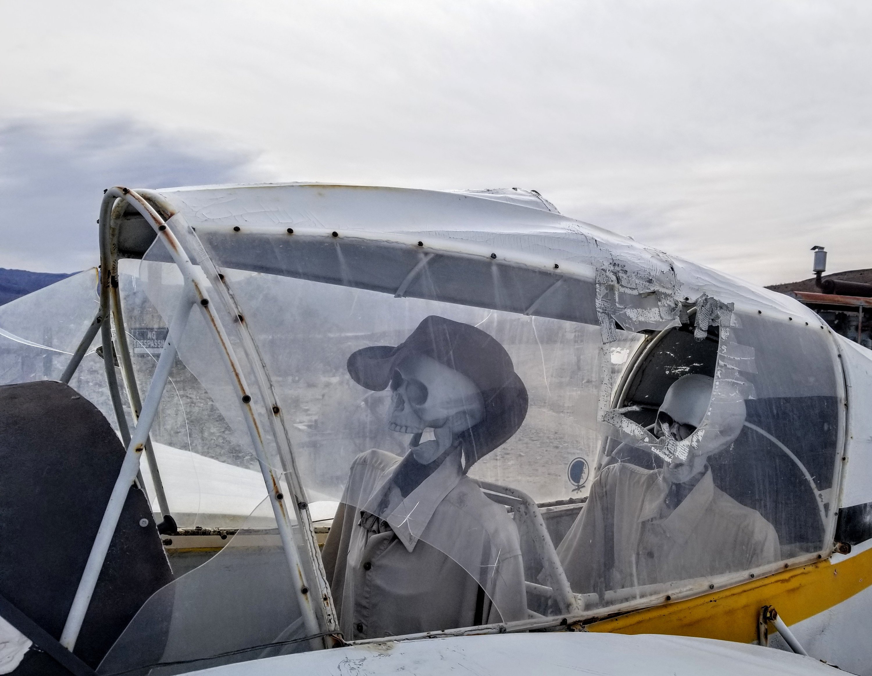
I stop at the Panamint Springs village and top off my gas tank, ducking into the General Store for a minute to check it out. Inside, I score what has turned out to be an amazing book titled “Hiking Death Valley: A guide to it’s natural wonders and mining past” by Michel Digonnet. This book is incredibly thorough and well laid out, I am so glad I picked it up, as it enriches my knowledge of this truly wonderous place.
Glad to leave the crowds at the Visitor’s Center I hop back into my truck, headed down Badwater Road to West Side Road. Within a couple minutes of pulling onto the ragged dirt track I meet a bicyclist. We chat for a few minutes, he is gregarious and friendly, yet he only has one small bottle of water. He refuses my offer for more. I let him know I will look for him on my return drive and see how he is faring. Fortunately the temperature shouldn’t top 80F today.

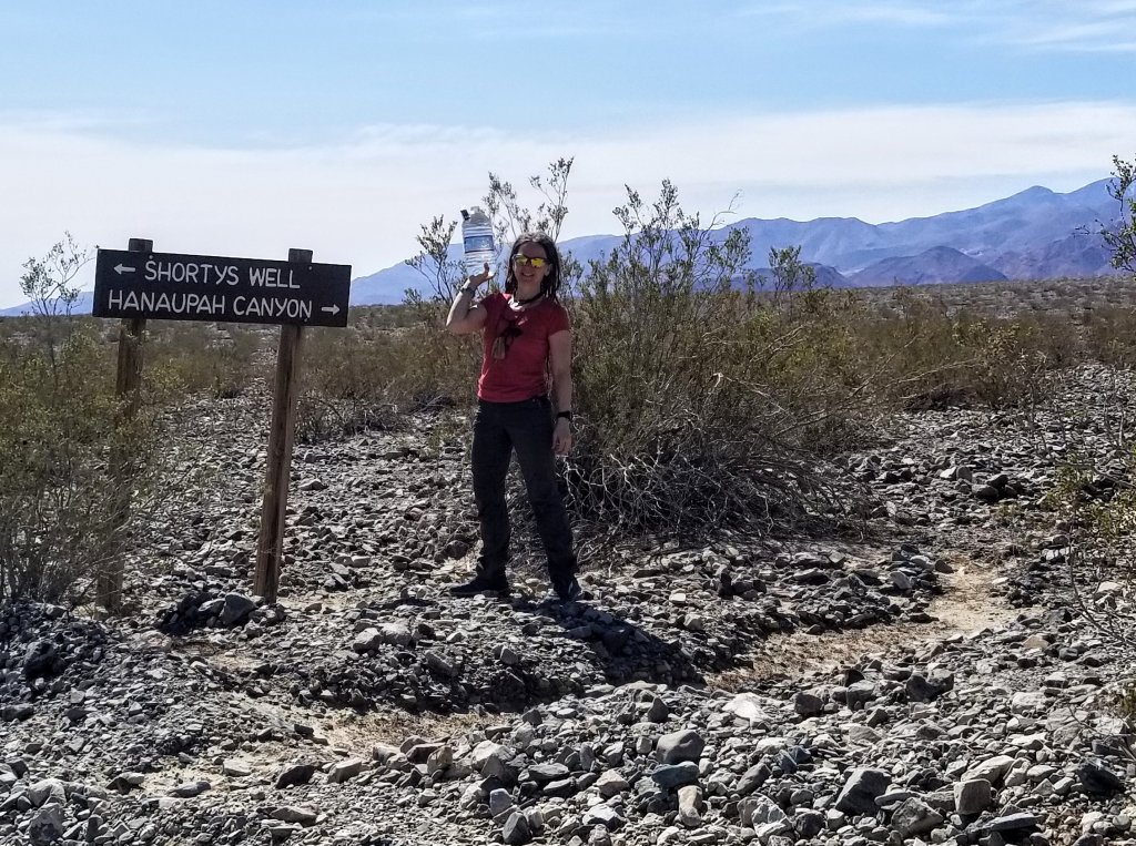
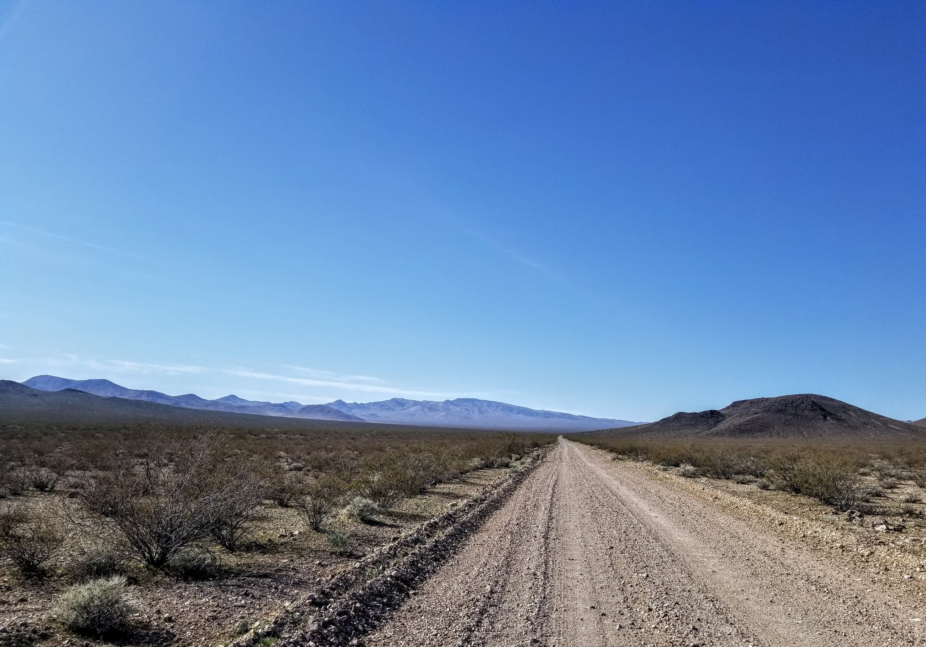
When you turn onto West Side Road from Badwater Road, Shorty’s Well is about 10.7 miles. The road is okay for a standard vehicle, high clearance is not required, but in conditions following rain or flooding, this could be a different story, you’d be best to give it time to dry out. I’ve driven this road several times before and never had any issues.
When I arrive at Shorty’s Well, the sun is blazing. I am hungry for an early lunch, so I set up a picnic in the back of my truck, with views of Telescope Peak in the distant end up through Hanaupah Canyon (this is the route one would take on the L2H). On the L2H, crossing Badwater Basin and climbing up Hanaupah Canyon to Telescope’s ridge is the first major objective.
Telescope Peak sits nestled into the Panamint Range, and is the tallest peak in Death Valley at 11,048 ft. There is a great view of it from Shorty’s Well/Hanaupah Canyon. Telescope Peak is less than 12 miles distant by air from Badwater’s low point, yet over 2.2 miles higher in elevation, making Death Valley itself the deepest depression in the lower 48 at a difference of 11,330 ft of topographic relief. In one big swoop it is stunning to see, even more stunning to hike! I stand there recalling my L2H trek and feel a little amazed that “I did that.” Not only that, but I climbed the peak just a week ago in the snow!
Interested in a Winter Summit of Telescope Peak? Here is a link to the Trip Report for the hike Rockin’ and I did on March 6th, 2022 (courtesy of Rockin’): https://ladyonarock.com/telescope-peak-winter-climb-death-valley-national-park/
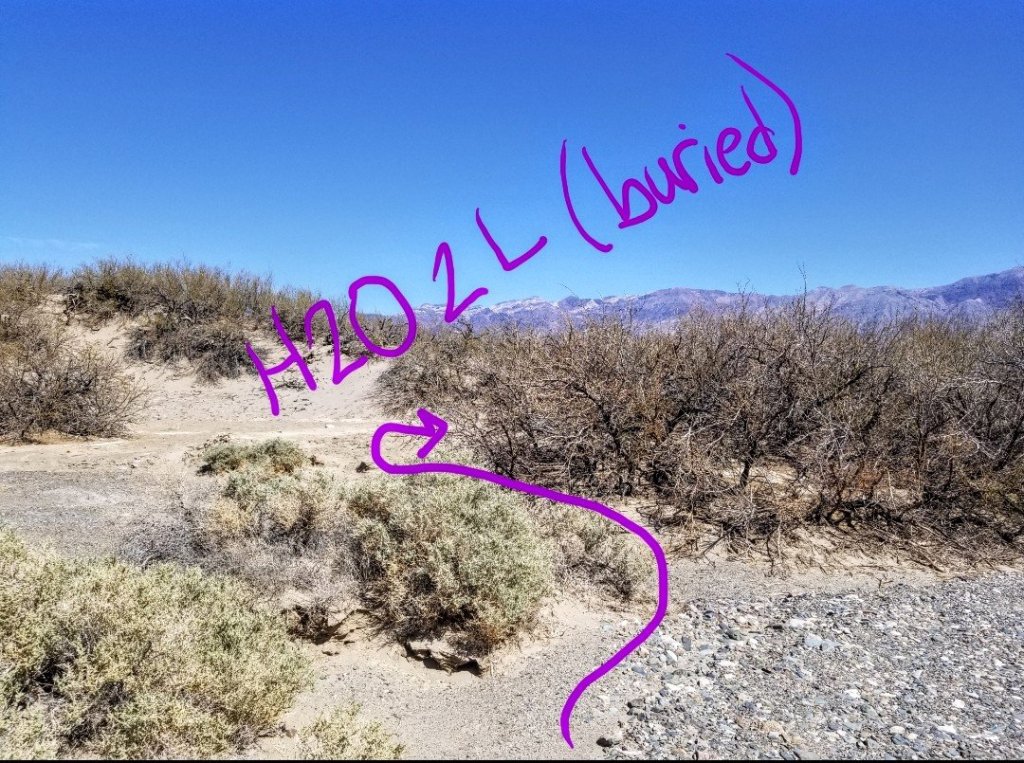
I finish up my lunch and clean up. I need to find a good spot to bury my water, so I scout a shrub to dig a hole in the sand next to for some shade. Since I am only planning to hike around 14 miles max from here to finish at Furnace Creek, mostly along the West Side road, it should be easy peasy and I won’t need too much water by then. I stash a 2L Hydrapak into the Earth. This will be my smallest and last water cache.
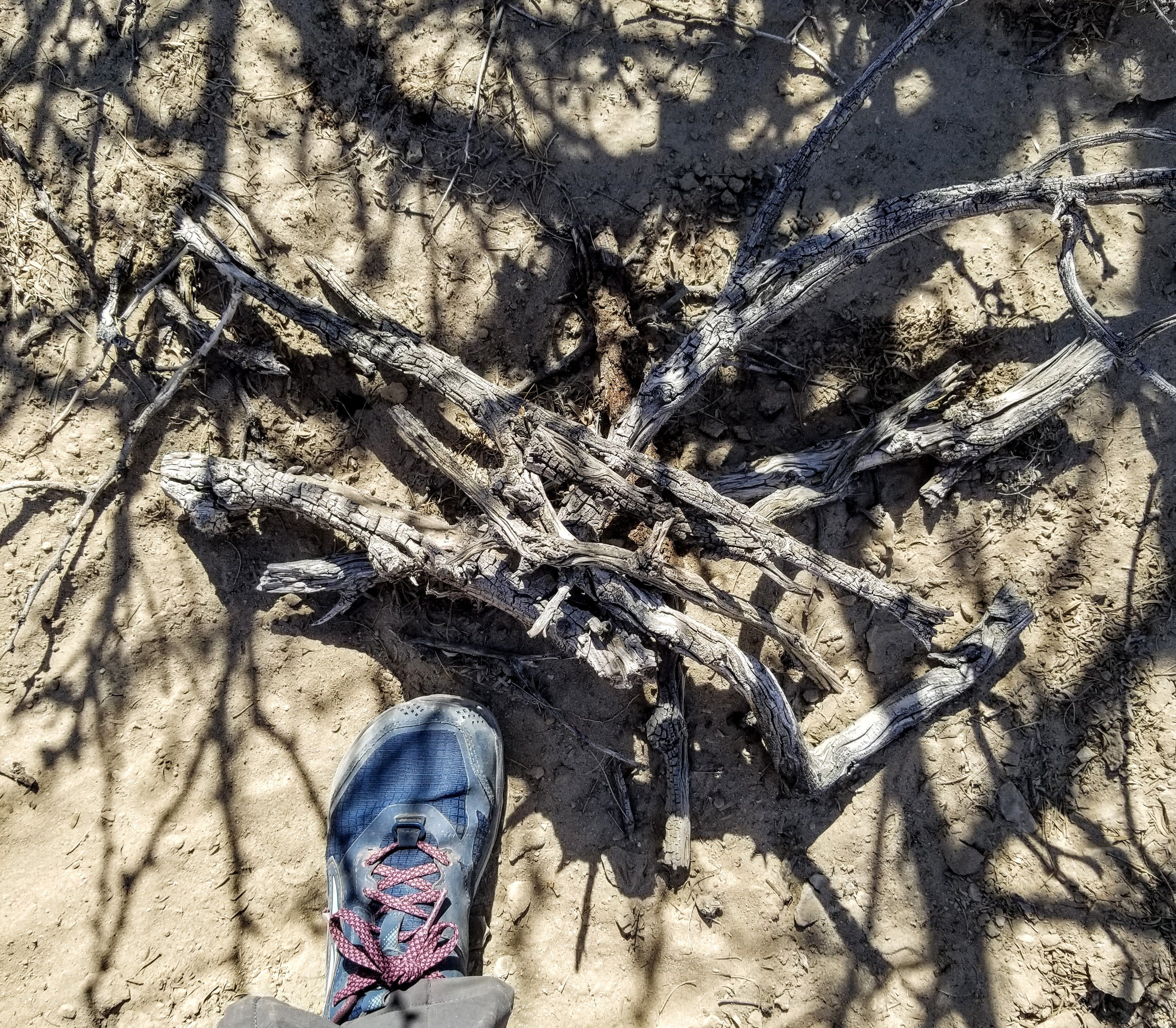
I cover it with sand, and lay a pile of sticks over the top to mark it. I drop a pin on my Gaia GPS app and take a few photos of the location, as there is always a chance I could arrive in the dark and have trouble locating it. I have found that taking photos of my cache locations and drawing on the photo with a stylus pen (on my phone) is really helpful when you return to your cache, as it can be a little disorienting to arrive after many days of walking in the desert. Things sometimes don’t look the same as when you dropped your cache off and/or everything starts to look exactly the same so it can be challenging to differentiate which bush etc. (speaking from experience…lol…)
On the return, I do see the bicycle guy and he proudly shows me that he has not consumed any of his water yet, and again refuses to take any of mine, but he does so with a big smile. We are not in the triple digits yet, but the sun is beating down on this vast land, there is no shade and it is so dry. I actually drive with my A/C blowing for the first time in several months. I wish him good luck and he returns the sentiment. Off I go to my next stop.
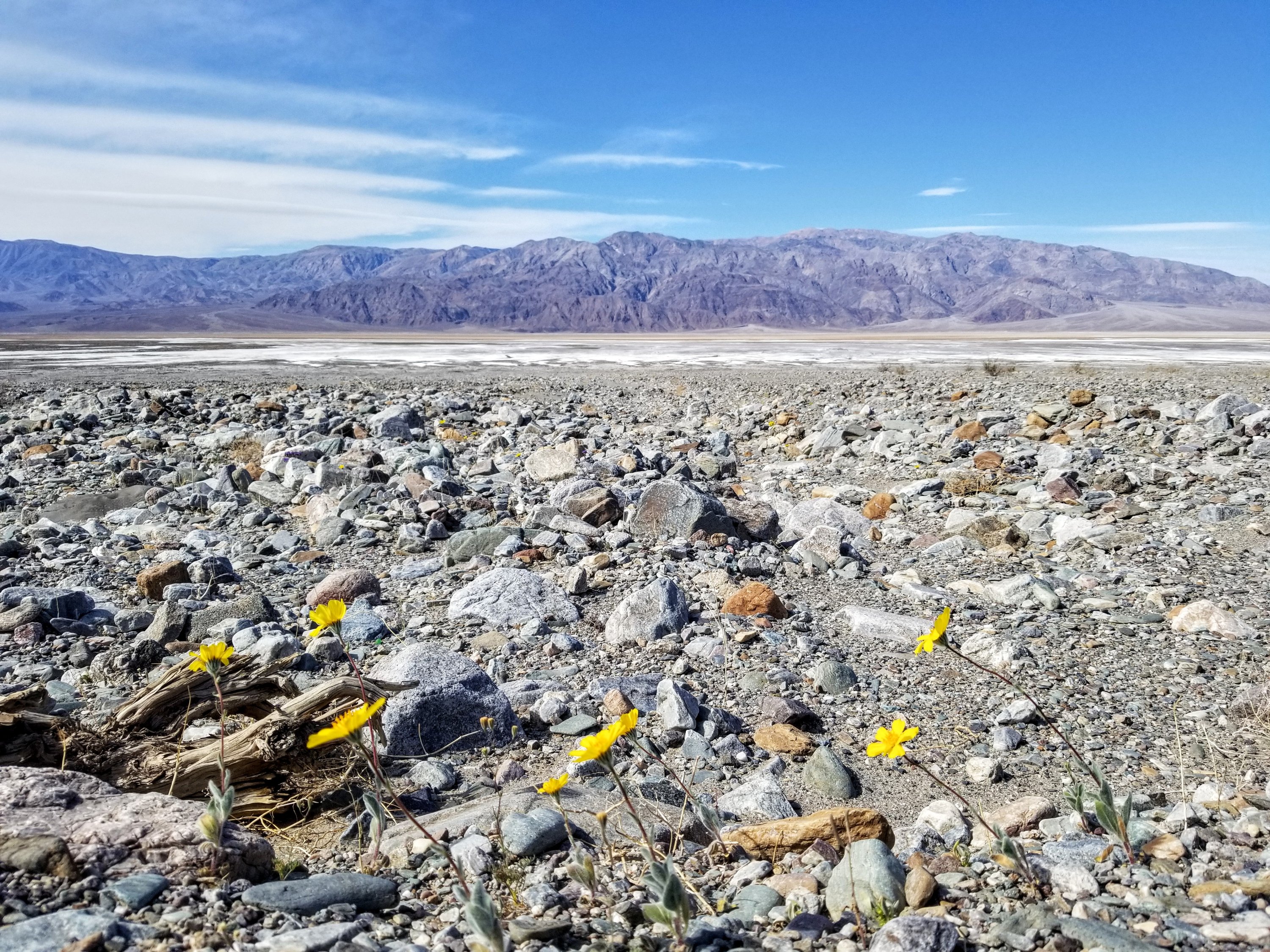
Water cache #2 is literally on Badwater Road, a chunk of miles past the famed Badwater Basin Lowest Point (-282 ft below sea level) where all the tourists go, and which is the beginning of the L2H route. It’s no doubt a “cool” spot but also the spot where the highest temperature on Earth was recorded back on July 10th, 1913 at 134F. As I drive by I watch the flat white salt trail holding up many people dressed in colorful garb. Folks who walk out into the wide salt pan turn into ants as I round the bend toward the old Ashford Mill site.
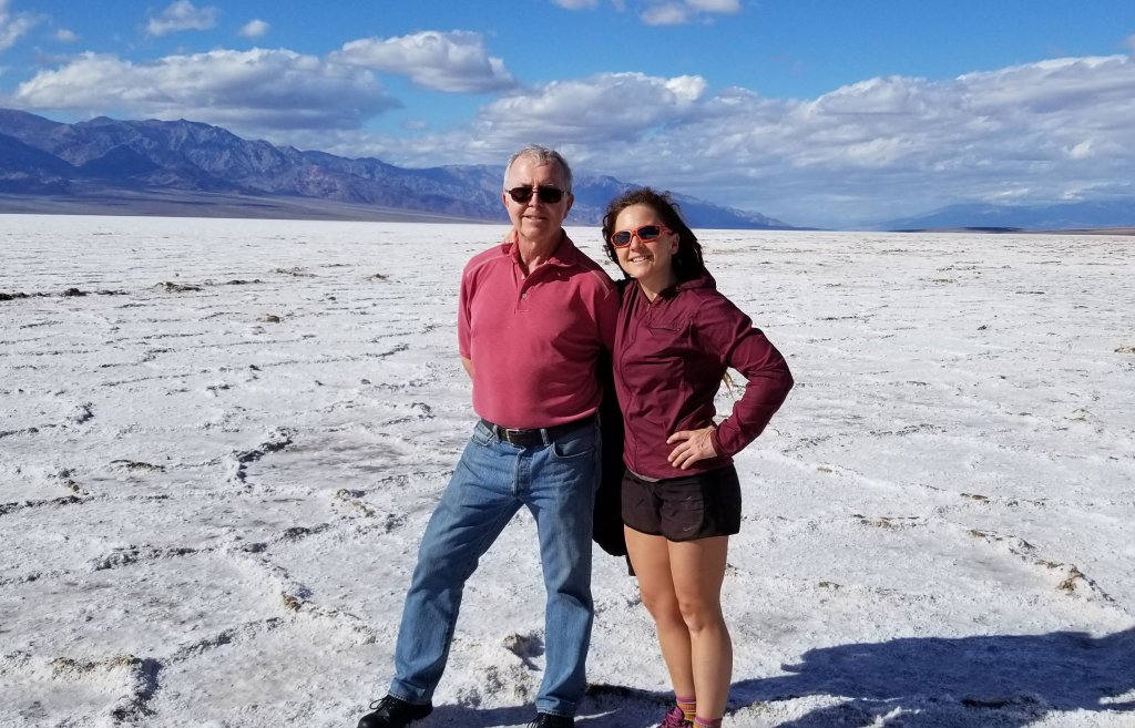
Three years ago, I convinced my Dad to come out to Death Valley and participate in a race with me. He ran the 10K and I ran the road marathon. The following day I dragged him out onto that salt pan too. Here we are in our colorful garb:
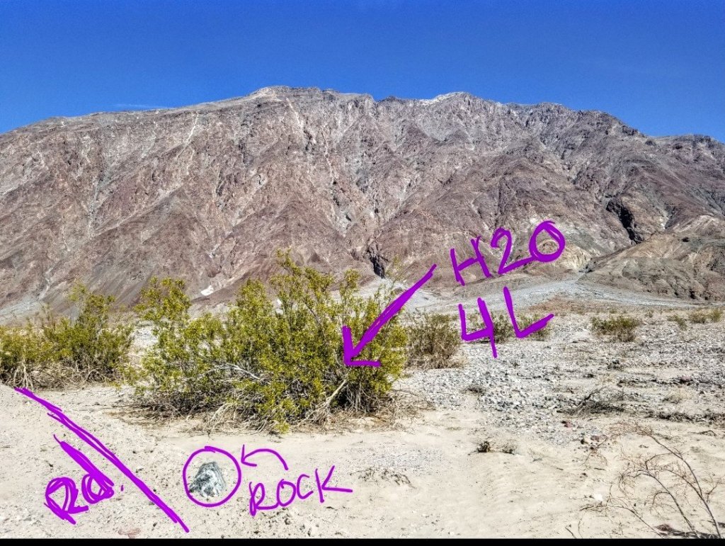
For the DVT, I will hike down through a place called Sheep Canyon and get spat out onto a wide alluvial fan that leads to Badwater Road. This spot is 24 miles down the road from the Badwater trail parking lot, yet there are no signs to indicate the entrance (exit) to Sheep Canyon, so you need a GPS waypoint to locate it, or know your maps really well when you do the caching, I recommend both. There is very little in the way of protection here, so I scout a shrub that has a little bit of shade in the center, and place a 1G Crystal Geyser bottle in the middle of the shrub. I’ve written my name etc on the plastic with a sharpie pen so that if found, it does not get abducted. The thing is, at least at this point of the traverse I will be on a road, with cars. If need be, this could be a bail out point. Good to know.
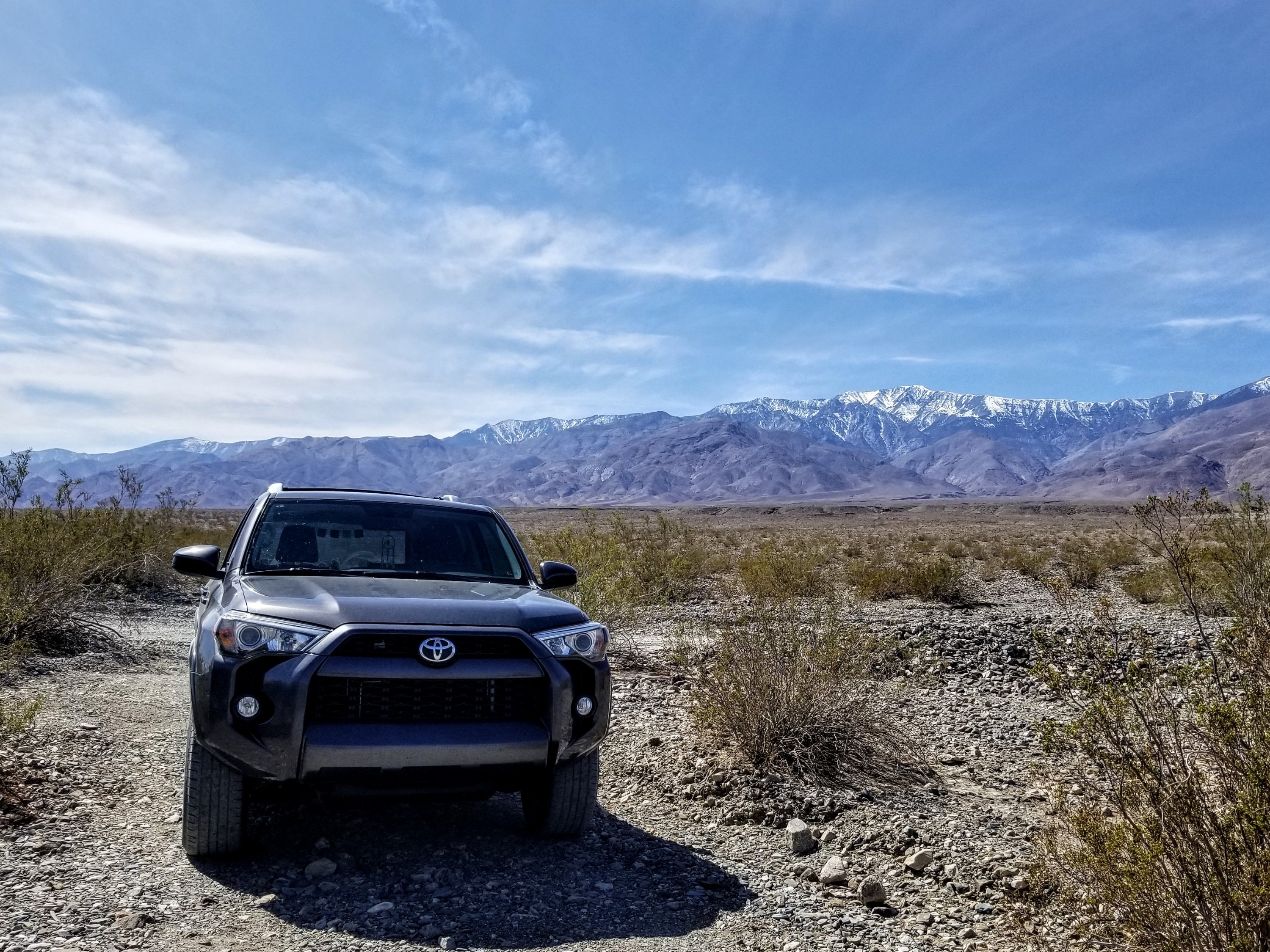
Beyond this point I enter some unknown territory as I drive into the far reaches of the South East part of the park. Death Valley National Park is the largest of our National Parks in the lower 48, second only to Denali, but contrary to popular belief, larger than Yellowstone. It’s total square mileage is 5,264 miles and 93% of that is designated wilderness. The region of Death Valley forms the Northern arm of the Mojave desert and is also part of the Great Basin. Death Valley itself is a North West trending sink, about 140 miles long, 4-15 miles wide and surrounded by several major mountain ranges. An element of sublime surprise for me when I first began to explore this vast region is how many mountain ranges are indeed part of this land.
The most recent of ancestral people living here are the Timbisha Shoshone, whom have made a life in this region for a couple thousand years, however there is archaeological evidence that humans have inhabited these lands for the past 12,000 years. Nowadays, the most talked about human history here is the mining history. Throughout the park, there are so many dilapidated, deserted mines. I do not intend to visit any of the mines along my upcoming trek, however I will most certainly be pondering how life might have been for the original ancestors who called this land home.
My next objective is Salsbury Pass at an elevation of 3,300 ft. The only other paved road that the DVT crosses, another possible bail out point. From Badwater Road, I drive past the site of the Ashford Mill ruins, taking a left turn on Hwy 178 toward Jubilee Pass. From here it’s roughly 20 miles to Salsbury Pass, and there is a great spot to cache water along a little dirt track just downhill from the pass proper. I turn into the pullout and lug my water up the track about 50 paces. Again I cache 1G under a shrub and this time there are enough large rocks that I place securely around my water. I take photos and mark my cache location on my GPS and note the surrounding area and views. Casting a glance into the distance to the North East I see Greenwater Valley framed by the Calico Peaks. This water will get me through that section on my way to Gold Valley. Pressing on.

It’s always interesting when you travel the distance near a place you will soon be walking, getting a good visual layout of the landscape and seeing the places where the route veers off a road into the desert where there is no trail. I peer across Greenwater Valley as my vehicle takes a steep descent from the pass, somewhere out there, I will be walking. Within just a few miles I turn left onto Furnace Creek Wash Road.
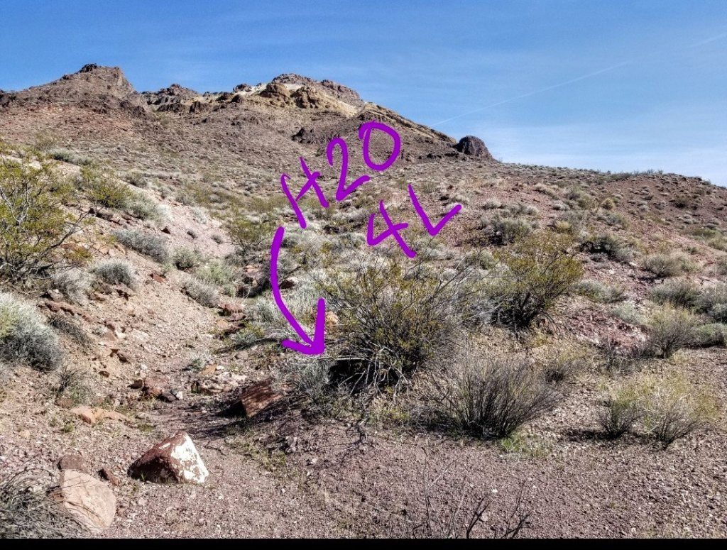
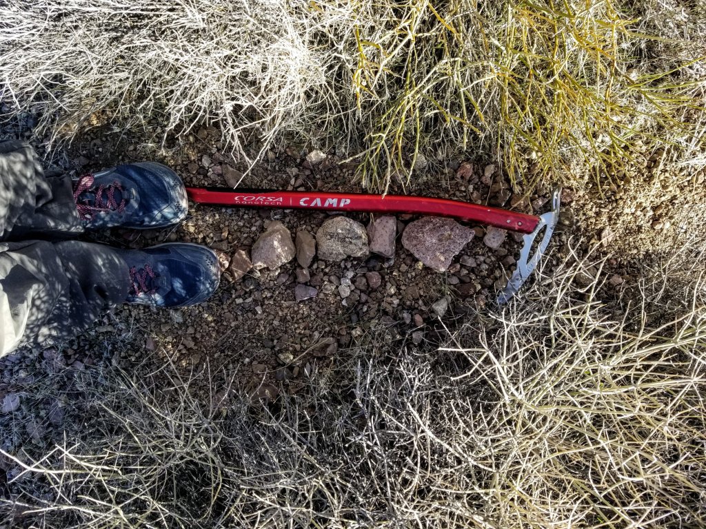
It’s a well trodden dirt and rock track on which I am able to drive at 30mph easily. Keeping an eye on my odometer, when I’ve gone 10 miles I turn left onto another narrower dirt track that leads one to Gold Valley. By the time I travel about six miles on this bumpier track it is after 4:30pm. I am aware I need to be thinking about where I’m going to sleep tonight. I decide to cache water about a half mile beyond where the route intersects with the dirt track, next to a pullout, rather than drive all the way into Gold Valley. This will work. This time I am caching 3L in a Hydrapack container so I dig a hole in the sand with my handy dandy ice axe and plunk it sub terranean to keep it cool. I find a few rocks to mark the location, take a photo, drop a pin and I am complete. Four water caches done and hopefully they will be there in 10 days when I return!
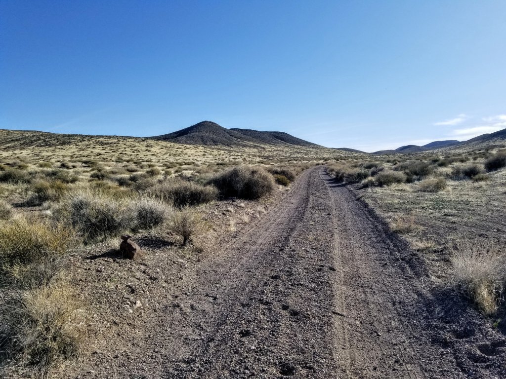
Tomorrow I have to drive home to Flagstaff, so I need to get back a bit closer to the highway or at least some pavement so I can count on a quick morning exit from this vast wilderness. Back at Furnace Creek Wash Road I spot a pull out that is well used and perfectly flat. There is also an old dirt track leading up a wash on which to take myself for a little evening walk before sunset. Perfect place for the night.
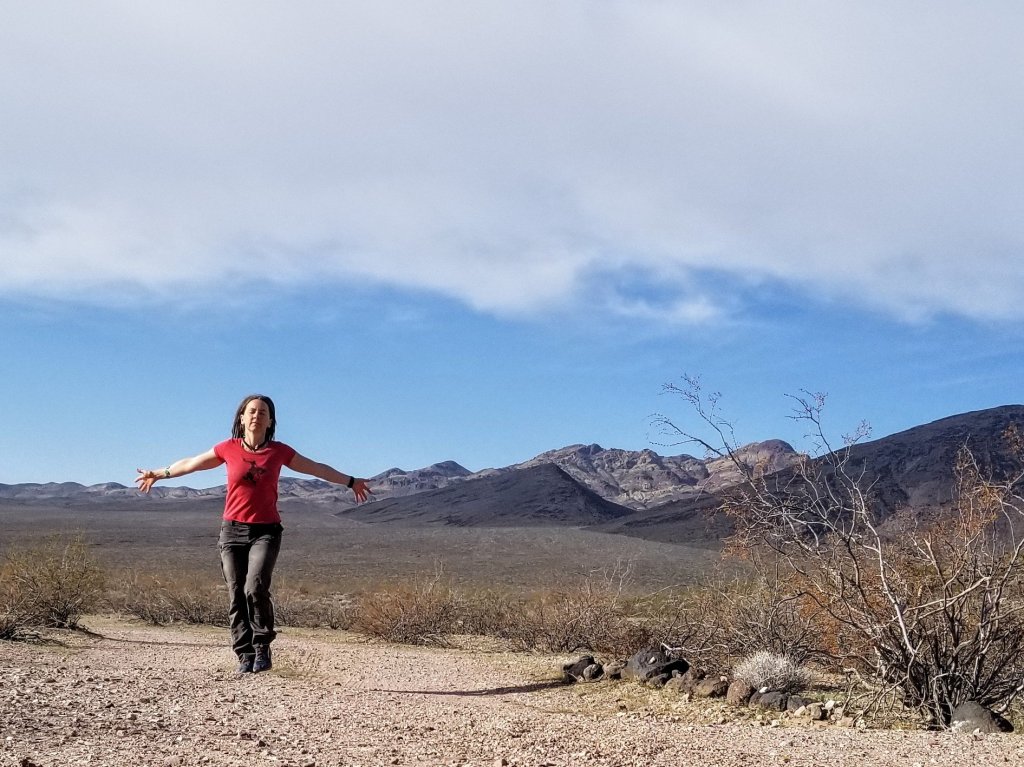
My walk turns out to be about 3 miles and takes a little over an hour. I am so very much enjoying the dead calm silence of this place. Later, once the sun plummets and the stars emerge, I sit happily sipping my tea, listening to the silence. It is such a gift to have this kind of silence. One of the greatest gifts that coming out to these wild places offers us. I can’t wait to return.
In the morning there are birds tweeting, there is a little flutter of a breeze, and when both stop momentarily, there is stillness. It is so still it is almost unsettling. I think I have acclimated too much to modern civilization. I realize that the silence and lack of interference from the modern world is one of the biggest reasons I am embarking on this particular trek. I make coffee, get dressed and start up the engine, heading to the sleepy but quaint town of Shoshone. I want to see the Southern end of the trail and what it looks like down there, I want to see the rest of the route I will be walking on, and then I will drive home.
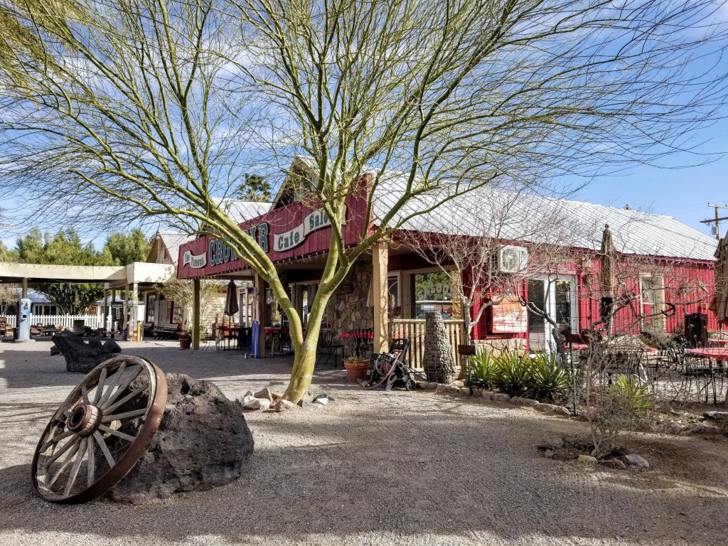
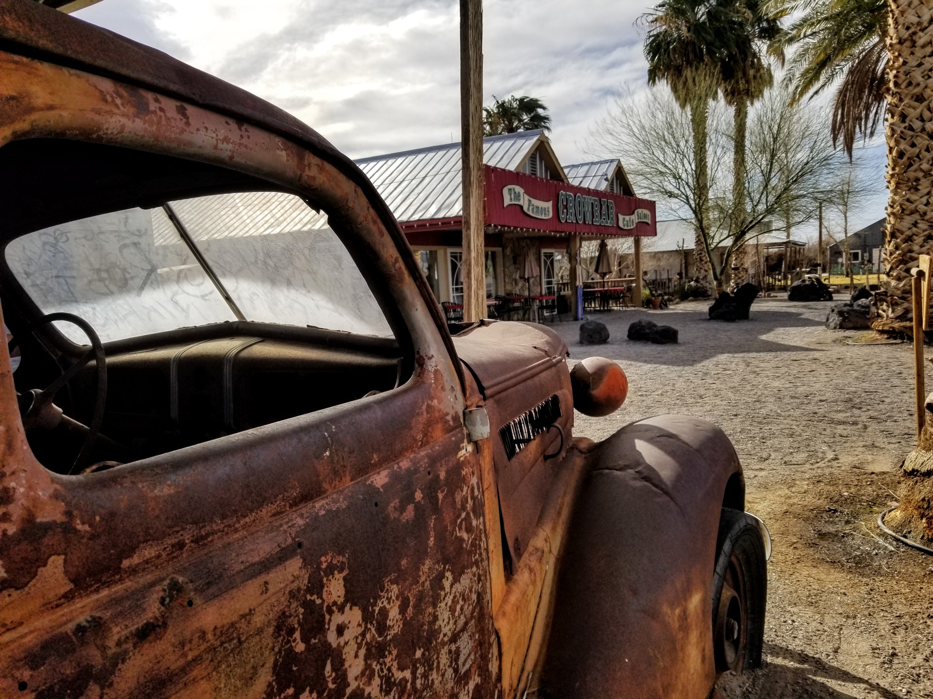
Shoshone is super cool. Way cooler than I expected with a population of 31. In their handful of buildings there is a great little motel that has been totally refurbished and is very well kept. I stop and chat with the woman who helps caretake there. I visit the general store, which I expected to just be a gas station mini mart, well boy was I wrong. They sell all kinds of cool stuff, locally made art, trinkets, supplies and even jewelry. Across the way is a cafe and a museum, both of which I will spend more time visiting after my trek is complete. Down the road is also Tecopa Hot Springs. Note to self, check that place out!
I drive down Hwy 127 over Ibex Pass to the corner of Harry Wade Road where there is a monument for the man named Harry Wade whose party exited the valley here en route toward the Sierra Nevada. This is the Southernmost border of Death Valley National Park and the point of the Death Valley Traverse where I will begin my walk. It was a 26 mile drive along the highway from Shoshone to get here. It is in the middle of frickin’ nowhere. I will be starting from here in 10 days…Wish me luck!


Oh Mary Poppins, you are doing it! So cool! I can’t wait to hear about this adventure of yours. I loved this post and the detailed info you provided. This is going to be a dreamy hike.
I would really like to know DV a little (or a lot!) better. The few trips we’ve taken there have only covered the more mainstream places and hikes. I know that there is much more to it, as you’ve demonstrated here.
Wishing you much contentment and silence on your journey.
Thank you so much Arrow, Im really excited about it, something about the mysteries of not having a trail in such a vast and textured place just gets me giddy! I hope you get to explore DV more, perhaps we can together one of these days! As always, thanks for your warm and thoughtful comments 🙂
It would be fantastic to hike with you in DV some day! I know what you mean about the wonderful lure of crossing trail-less terrain. Love it!
Path less travelled sounds appealing. Very spiritual and, as you said- sublime hike. Also, nice you saw the book to add to your knowledge base.
Thanks Diego, just completed the hike, more posts coming soon!
This incredible… Way out of my skill-set at 74. Be safe… Rob
Thanks Rob, much appreciated!